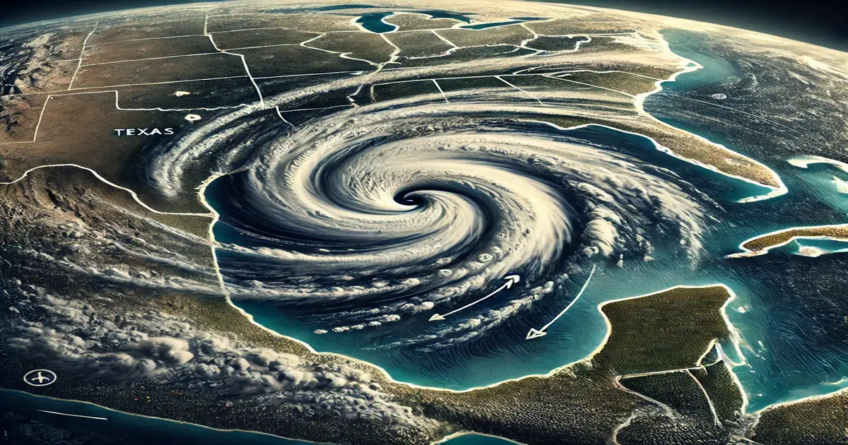
Tropical Storm Francine Path Symbolic Image
Tropical Storm Francine has quickly gained strength since forming in the Gulf of Mexico on Monday, and meteorologists warn it could develop into a low-end Category 1 hurricane by Wednesday. As the storm approaches, the Upper Texas and southwestern Louisiana coasts are preparing for potential landfall, with hurricane watches already issued for portions of Louisiana.
Tropical Storm Francine’s Rapid Development-Hurricane Francine update
Tropical Storm Francine emerged in the Gulf of Mexico with an alarming rate of intensification. Initially a disorganized system, Francine has quickly gained strength due to the warm waters of the Gulf, which provide the fuel for its development. The National Hurricane Center (NHC) has been closely monitoring the storm, predicting that it could reach Category 1 hurricane status by midweek. This would make Francine the first hurricane of the season to potentially impact the U.S. mainland.
Potential Impact Zones: Texas and Louisiana- Tropical Storm Francine path
The current trajectory of Tropical Storm Francine indicates a possible landfall along the Upper Texas or southwestern Louisiana coasts. These areas are particularly vulnerable, having experienced significant storm activity in recent years. A hurricane watch has been issued for parts of the Louisiana coast, signaling that hurricane conditions are possible within the next 48 hours. Local authorities in both Texas and Louisiana are urging residents to prepare for potential evacuations and to stay informed about the storm’s progress.
Preparations Underway as Landfall Looms- Texas Gulf Coast storm preparation
As the threat of a hurricane looms, communities along the Gulf Coast are taking precautions. Emergency management teams have begun coordinating response efforts and residents are being advised to secure their homes and gather essential supplies. With the possibility of strong winds, heavy rainfall, and storm surges, the risk of flooding and widespread damage is high. Coastal cities and towns are particularly at risk and officials are emphasizing the importance of heeding evacuation orders if they are issued.
The Path Forward: Monitoring and Response- Louisiana hurricane watch 2024
While the exact path of Tropical Storm Francine remains uncertain, continuous monitoring by meteorologists and local authorities will be crucial in the coming days. The NHC will provide regular updates on the storm’s strength and trajectory, while local governments will update residents on necessary precautions and evacuation plans. As Francine approaches, the focus will be on minimizing the impact on communities and ensuring the safety of all those in its path.
