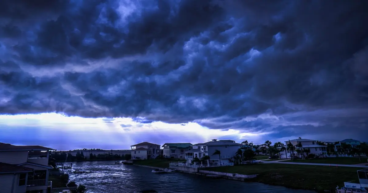
Representative Image– Milton Florida
The National Hurricane Center (NHC) is closely monitoring a developing weather system, Invest 92-L, which formed late Friday in the Gulf of Mexico. Meteorologists predict that the system could intensify into a tropical depression or even Tropical Storm Milton by the weekend. This storm comes on the heels of Hurricane Helene, which recently battered Florida’s Big Bend region with catastrophic force.
According to the latest advisories, Invest 92-L has a 70% chance of developing into a tropical system within the next 48 hours, with an even greater 90% likelihood over the next seven days. As it moves through the Gulf of Mexico, the storm is expected to pick up speed, potentially impacting Florida and neighboring regions by early next week. Areas such as the Yucatan Peninsula, the Florida Keys, and the northwestern Bahamas have been advised to remain vigilant as the system progresses.
NHC Monitors the Gulf: Florida on High Alert
While it remains uncertain exactly how strong the storm will become, weather models are consistently showing the system making its way through Florida. The NHC projects that by Saturday or Sunday, a tropical depression will form, with a high probability of further intensification. By early next week, the system is forecast to accelerate eastward or northeastward across the central and eastern Gulf of Mexico, increasing the risk for stronger winds and rainfall.
Residents across the Gulf Coast and Florida, especially those still recovering from Hurricane Helene, are urged to take precautions. Helene caused widespread flooding, a damaging storm surge, and wind speeds exceeding 140 mph, leaving a path of destruction in its wake. Florida’s emergency management teams are on standby, as they prepare for potential impacts from this new weather threat.
Will Tropical Storm Milton Impact the Gulf States?
Invest 92-L’s exact path remains uncertain, but its trajectory currently suggests a strong possibility of landfall along Florida’s western coast. While the system is still developing, it may bring heavy rainfall, high winds, and coastal flooding to areas already dealing with storm recovery. Meteorologists continue to closely monitor changes and provide updated forecasts to ensure that residents can adequately prepare.
Latest on the Gulf Weather Situation: What to Expect
As the weekend progresses, Invest 92-L could quickly turn into Tropical Storm Milton, with conditions in the Gulf of Mexico providing ample opportunity for the system to strengthen. Additional advisories from the NHC will track its development and potential impact on Florida, with warnings already in place for the Yucatan Peninsula, Florida Peninsula, Florida Keys, and the Bahamas. Anyone in these areas should closely follow updates and take necessary precautions.
FAQs About Tropical Storm Milton
Q: What is Invest 92-L?
A: Invest 92-L is a developing weather system in the Gulf of Mexico that could strengthen into Tropical Storm Milton over the weekend.
Q: What are the chances of Invest 92-L becoming a storm?
A: As of the latest NHC advisory, there is a 70% chance of the system forming into a tropical depression within 48 hours and a 90% chance within the next seven days.
Q: When will Invest 92-L impact Florida?
A: The system is expected to move toward Florida by early next week. While it’s too soon to pinpoint the exact impact, areas in the storm’s projected path should prepare for potential heavy rains, winds, and flooding.
Q: How can I track Tropical Storm Milton?
A: You can track the storm’s progress through the National Hurricane Center’s updates, NOAA’s hurricane tracker, and local weather alerts.
Q: How does this compare to Hurricane Helene?
A: Hurricane Helene was a Category 4 storm that caused significant damage in Florida’s Big Bend region. While it’s uncertain if Invest 92-L will reach that intensity, the storm poses a serious risk to areas still recovering from Helene.
Q: What areas are at risk from Invest 92-L?
A: The Yucatan Peninsula, Florida Peninsula, Florida Keys, and the northwestern Bahamas are all advised to monitor the storm’s progress and be prepared for its impact.
